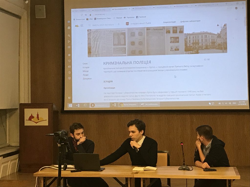
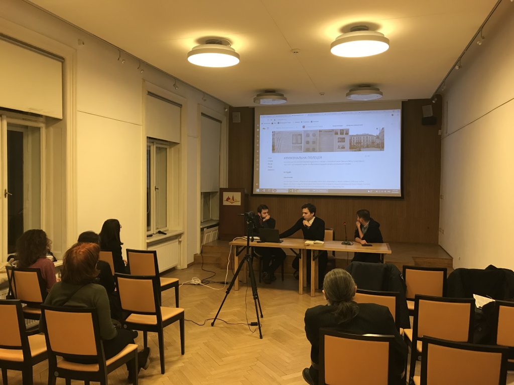
Presentation of the Interactive Map "The Year 1943"
12.12.2018, 18:30
Center for Urban History, Lviv
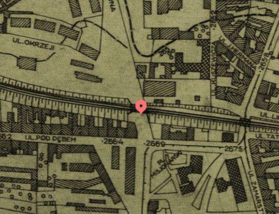
Today, the areas of the former Janowska camp and of the Lviv ghetto are parts of city’s everyday life, and hardly tell anything about the tragedy of obliterating the Jewish population of the city. "Lviv Interactive" employs digital tools to visualize the history of the sites, and also to map the mechanisms of terror, survival and resistance practices in the occupied city. The year 1943 was selected as a symbolic borderline for the city that did not survive.
While integrating the topic with other materials and formats of "Lviv Interactive" that cover the 19th-20th century history of the city we offer both a distinct view on the sites related to the Holocaust in Lviv and include them to have a deeper insight for the history of our city.
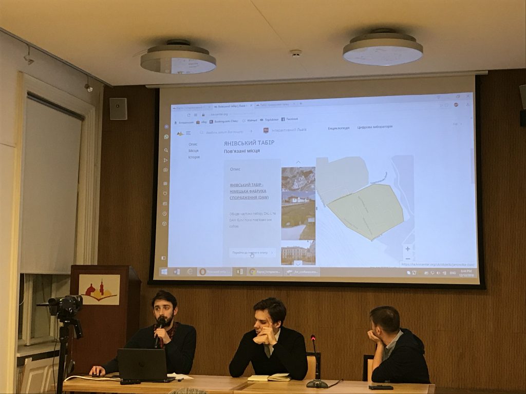
Authors of the map: Waitman Beorn, Taras Martynenko, Andriy Usach, Anna Chebotariova, Taras Nazaruk.
The presentation will be conducted in Ukrainian.
"Lwów, לעמבערג, Львів, Lemberg, Lviv’43: The City that did (not) Survive" is a series of memorial activities to commemorate the 75th anniversary of liquidation of the ghetto and Janowska concentration camp in Lviv. Throughout March-November, 2018, the city will host lectures, exhibitions, and memorial concerts. The program is running with support of Lviv City Council, and in partnership with research, museum, and cultural organization of the city, such as the Memorial Museum of Totalitarian Regimes "Territory of Terror," Center for Urban History of East Central Europe, Charity Fund Hesed-Arje, Lviv Organ and Chamber Music Hall, "Collegium Musicum" Music Agency, Jewish Studies Program at UCU, Charity fund B’ney B’rit "Leopolis" named after Emil Domberger.