Habsburg Empire on Maps
21.12.2015
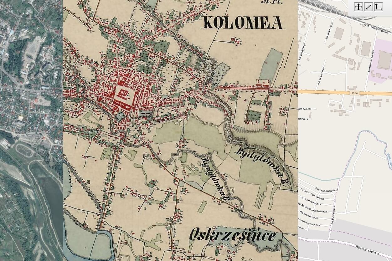
A large collection of historical maps of the Habsburg Empire kept in Austrian, Hungarian, and Croatian archives is now available on the website of the Mapire project.
The materials of Mapire contain maps of the first military survey (1764-1784), which are known to Ukrainian researchers as ‘Friedrich von Mieg maps’, and maps of the second military survey (1806-1869), both with a scale of 1:28.800. You can also find there maps of the third military survey (1869-1887), cadastral maps of the 19th century, an extensive collection of historical maps of Budapest, and the Austrian Historic Towns Atlas.
Mapire enables the user to navigate historical maps of the Habsburg Empire using state-of-the art technologies including Google Maps, Google Earth, OpenStreetMap, and GIS features. All the maps are georeferenced and can be synchronized with today’s maps that have a variety of functions, which facilitates the navigation process for both professionals and amateurs.
If you are interested in historical maps or cartography, you might also find useful Urban Maps Digital collected by the Center for Urban History.