Digital Data Mapping


24.6.2026
Conference Room of the Center for Urban History
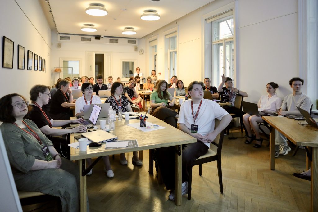
On June 24, 2026, as part of the Summer School of the Center for Digital Humanities at the Ukrainian Catholic University, a workshop on digital data mapping was held at the Center for Urban History.
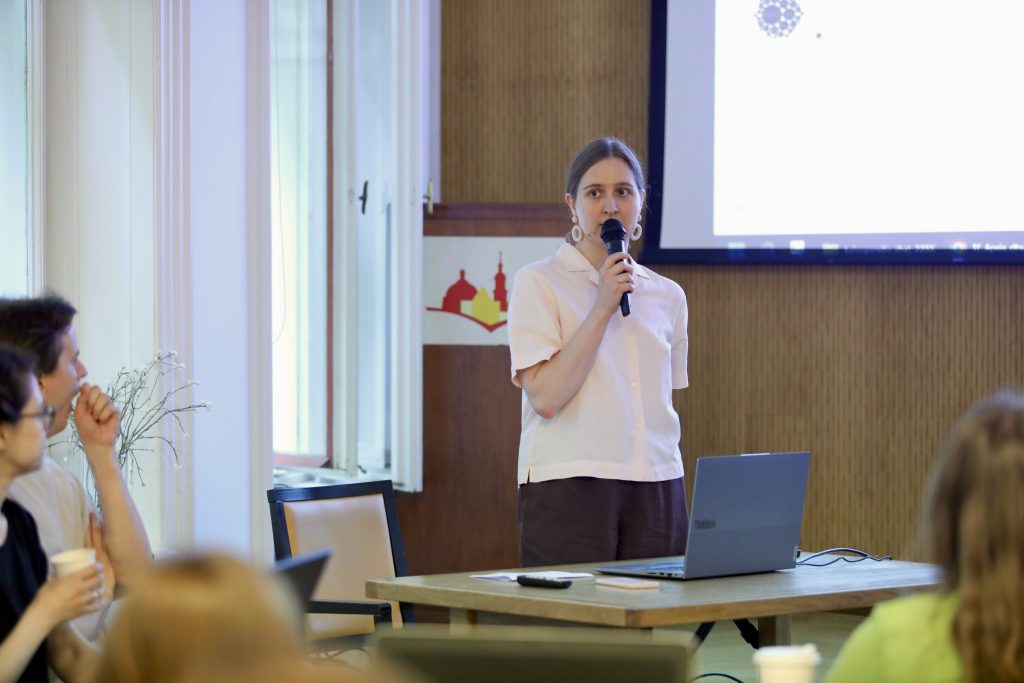
Participants from various academic institutions across Ukraine were introduced to the Center for Urban History’s digital projects. Colleagues Roksoliana Holovata, Anastasiya Kholyavka, and Oksana Avramenko spoke, in particular, about "Lviv Interactive," "Urban Media Archive," and "TG Archive of the War." They shared their many years of experience working with digital tools, as well as their search for and transition to new open-source systems (Collective Access, Open Encyclopedia System, Omeka S, and others).
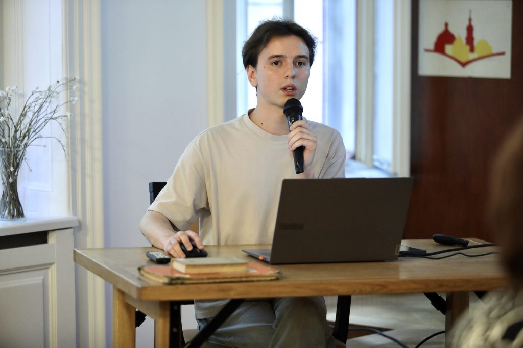
The practical session, dedicated to digital history, spatial data, and tools for mapping historical sources, was moderated by Vladyslav Muravskyi. Participants then familiarized themselves with the digital infrastructure and resources that help explore the history of cities through maps, archival materials, databases, and open digital sources. The discussion focused on how to transform historical materials into meaningful data and then display them on a digital map.
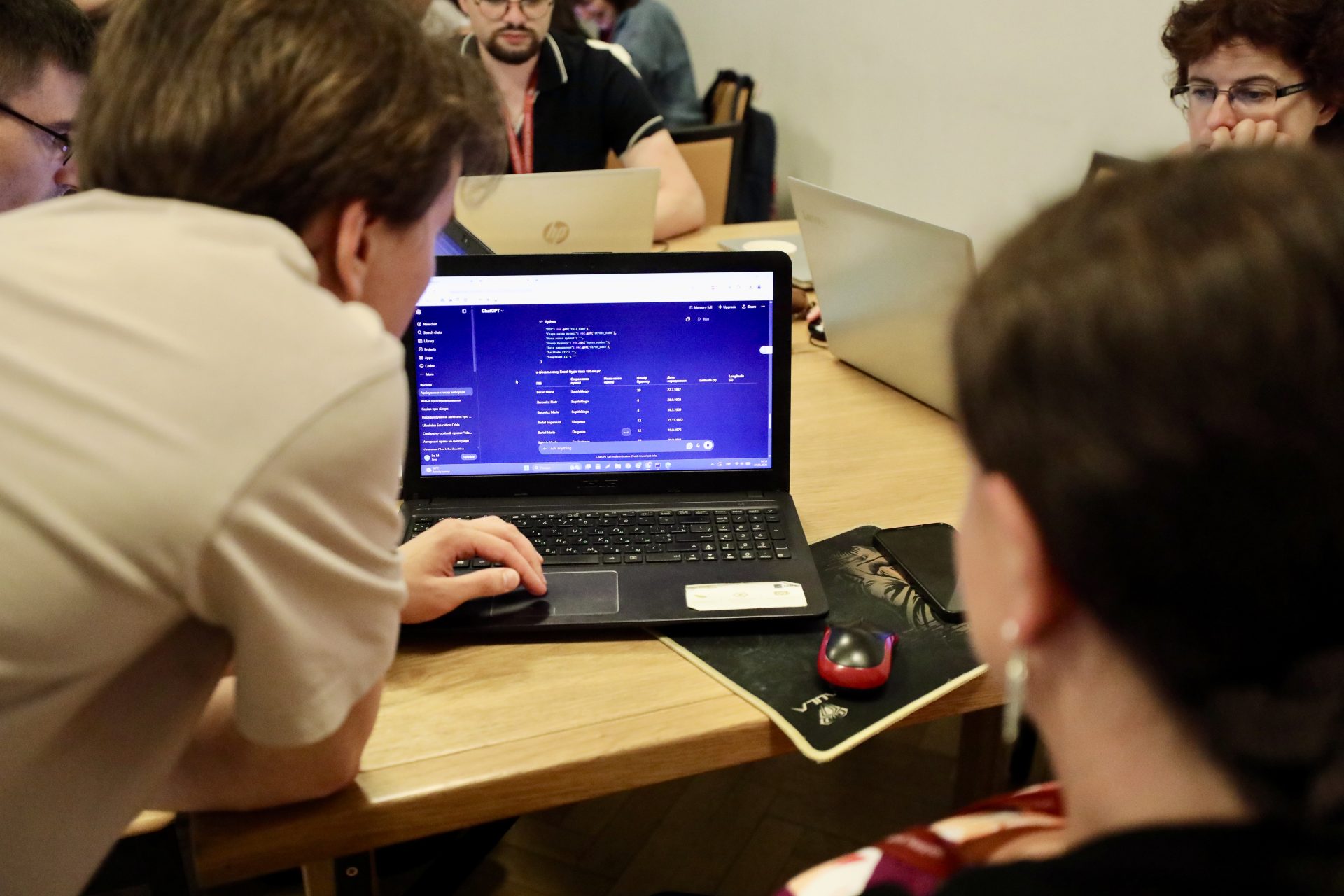
A separate session was dedicated to working with archival documents and automating their processing. Participants learned how to use Python to run tools for processing scans of archival documents, indexing data, and preparing tables for further work.
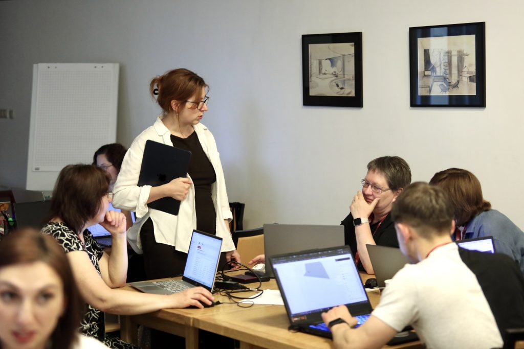
During the hands-on sessions, they also worked with various types of historical and spatial data: historical maps, archival documents, house registers, reference books, photographs, open-source cartographic data, and online resources. Some of the tasks involved preparing tables, finding modern equivalents for old street names, determining coordinates, and creating structured datasets for ArcGIS.
In ArcGIS, participants created various types of layers—points, lines, and polygons—added attributes to them, and configured tooltips and visualization styles. Some tasks also involved using Overpass Turbo to retrieve open spatial data.
Another area of focus involved historical maps. Participants used MapWarper to georeference old maps: they identified common points on historical and modern maps, tied the images to modern coordinates, and used these maps as a basis for further mapping.
Ultimately, the hands-on portion demonstrated how archival materials and historical maps can be transformed into digital, interactive maps with data. Working with Python, artificial intelligence, and GIS tools allowed participants to see how technology helps explore the city’s history and its changes over time in new ways.
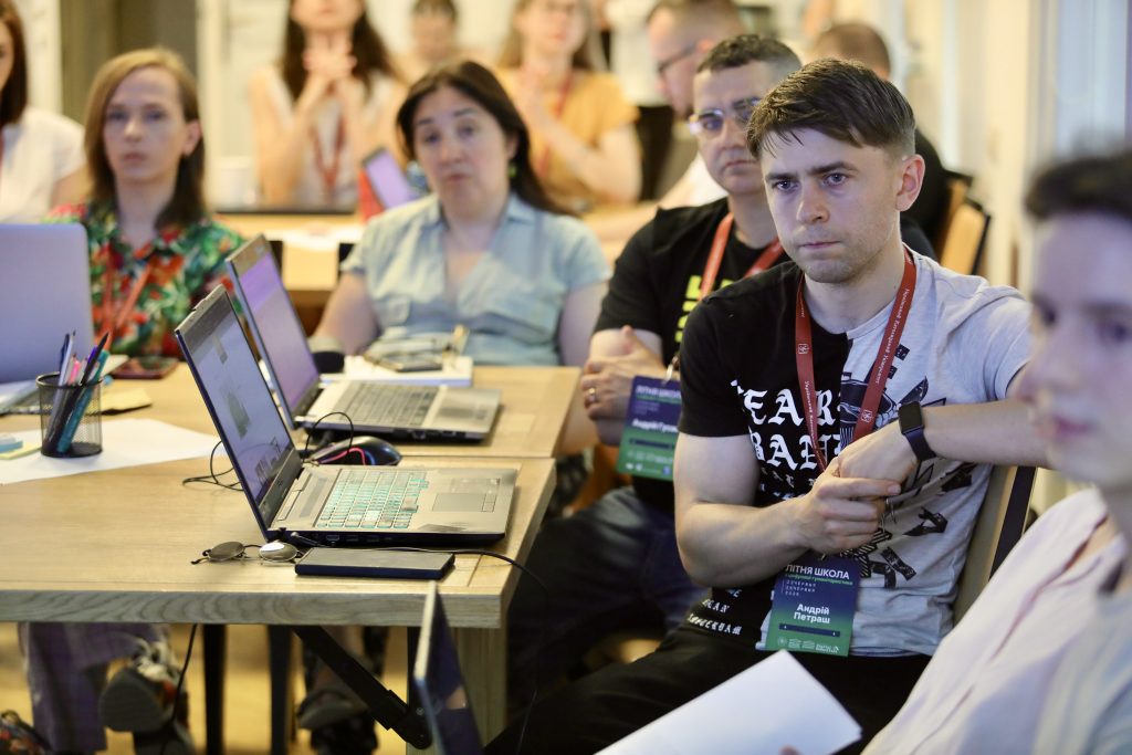
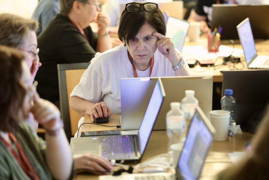
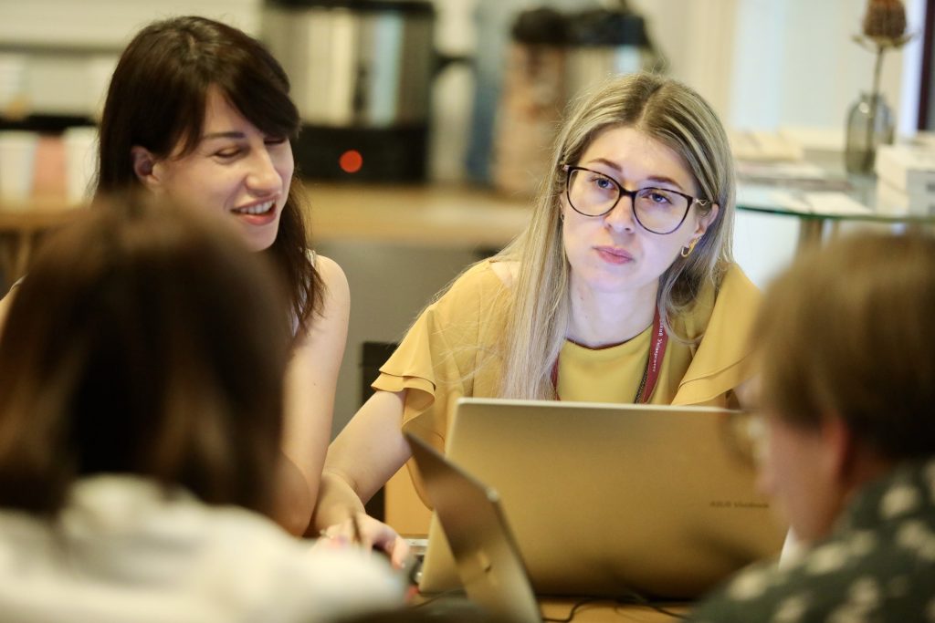
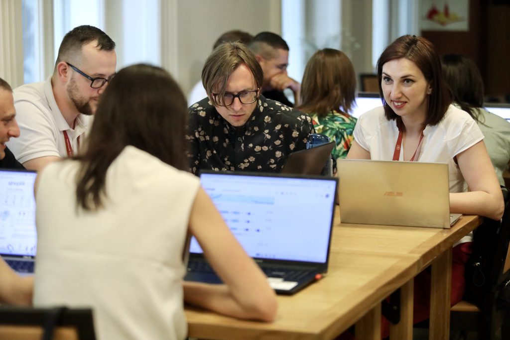
Head of the Urban Media Archive, Anastasiya Kholyavka Participants of the Summer School during the workshop Participants of the Summer School during the workshop Archivist of the Urban Media Archive and coordinator of the TG-Archive of WAr, Oksana Avramenko Center's Digital Projects Assistant, Vladyslav Muravskyi Head of Lviv Interactive platform, Roksoliana Holovata Participants of the Summer School during the workshop Participants of the Summer School during the workshop Participants of the Summer School during the workshop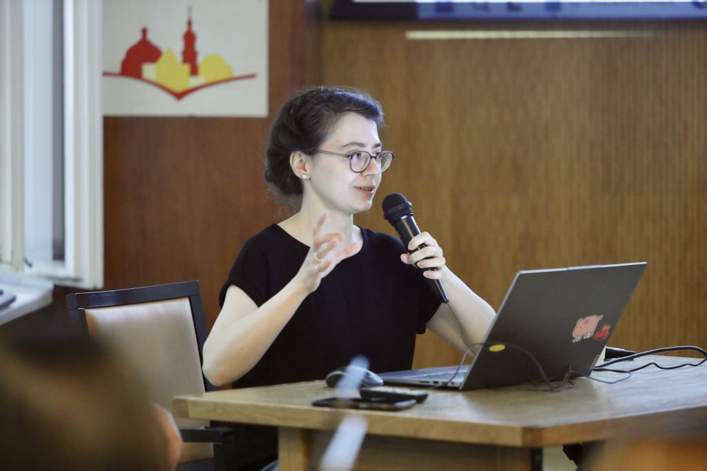
The Center for Urban History contributed to the summer school organized by partners from the Center for Digital Humanities at the Ukrainian Catholic University to host a summer school, which took place at both institutions from June 22–26, 2026, in Lviv, with the support of the Center for Governance and Culture in Europe at the University of St. Gallen.



Credits
Cover Image and gallery: Iryna Sereda